



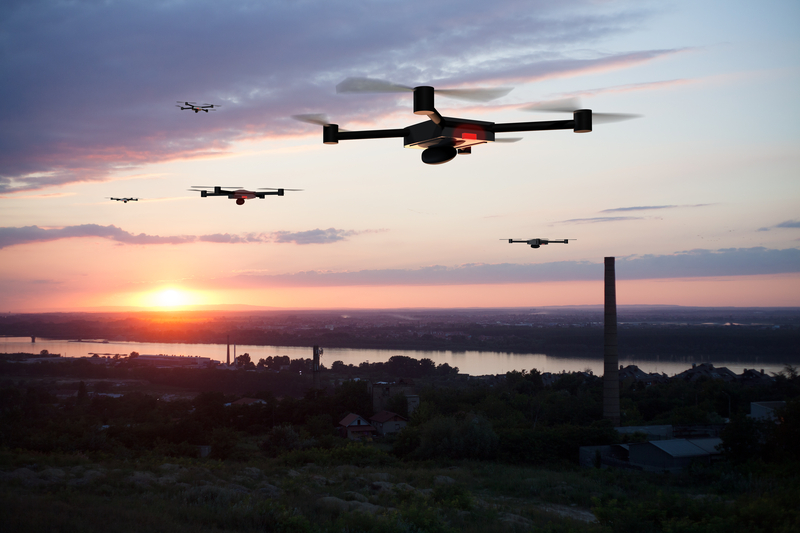
Drone mapping flights could begin in Kimberley as early as today (Oct. 30) as Booker Technical Services updates the city’s aerial photography and mapping data.
The updated imagery and mapping data will support city planning, infrastructure management and future capital projects.
Residents may see a large drone flying about 75 metres above ground in different parts of the community.
The city adds that the authorized flights will be operated by experienced professionals in accordance with applicable airspace and privacy regulations.
The city says the drone will capture aerial images for mapping, not monitor individual people or properties.
Residents do not need to report the scheduled flights to police, but to give the pilot space, stay clear of takeoff and landing areas and avoid interfering with flights.
Flights are expected to continue through November 14 with weather permitting.




Comments