


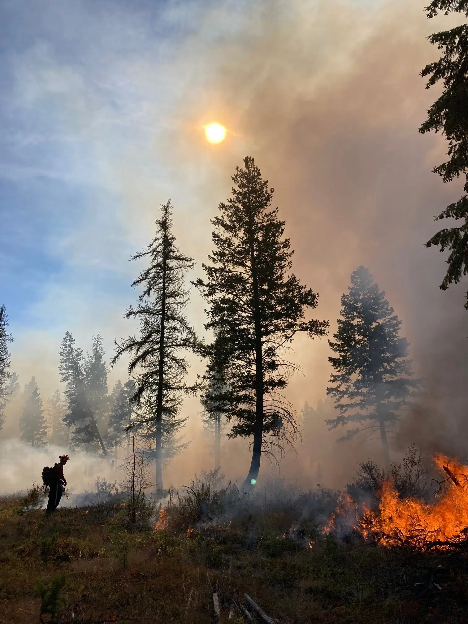
The City of Cranbrook says a prescribed burn near Canadian Rockies International Airport could begin as early as Wednesday.
The burn will cover 79 hectares south and east of the airport if conditions and the venting index remain favourable, this is being done to reduce wildfire risk in the area.
This work will also establish a holding line to protect the airport from a larger burn which is set to be carried out near Aq’am over the weekend.
You may notice smoke from Cranbrook, Aq’am, Kimberley and surrounding areas as well as Highways 93 and 95A
View a statement about plans for this week’s prescribed burn from the City of Cranbrook below:
The City of Cranbrook is carrying out a prescribed burn starting Wednesday, April 26, 2023; localized smoke should be visible from Cranbrook, Kimberley, and Fort Steele.
A 79-hectare parcel east and south of the Canadian Rockies International Airport will see a prescribed fire starting Wednesday morning to control fuel loads and limit conifer regeneration, provided the weather conditions and the venting index remain favourable.
We are tackling this work as part of a larger coordinated effort to protect communities and infrastructure with our partners and neighbors in ʔaq’am, Kimberley, the BC Wildfire Service, MFLNRORD staff and local industry. The key goals of this prescribed burn include:
- Reduce accumulations of dead wood and other combustible material.
- Promote ecological biodiversity by suppressing growth of regenerating trees and reducing wildfire severity.
This project is the continuation of a 22-hectare parcel prescribed burn at the road entrance to the Canadian Rockies International Airport (CRIA) conducted in April 2022. This week’s burn will help create a holding line to protect the airport ahead of a more extensive prescribed burn being undertaken by ʔaq’am this weekend, weather permitting. Cranbrook Fire & Emergency Services will be participating in this prescribed burn in a support role.
Fire is a very normal and natural process in this ecosystem, and it is our intention to return this landscape to a healthy, fire-resistive state.
The effects of this burn will be visible from Cranbrook, ʔaq’am, Kimberley and surrounding areas, as well as Highway 93 and Highway 95A.
– Article includes statement and image supplied by City of Cranbrook


Comments