


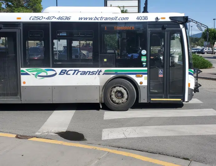
Photo Credit: BC Transit
Real time transit tracking is coming to the East Kootenay.
BC Transit has launched it’s NextRide program locally, it uses Automatic Vehicle Location technology to see real-time bus locations along routes and identify arrival times at any selected stop.
The program is compatible with mobility providers like transit app, and is set to soon work with Google Maps.
Additionally, all transit vehicles will now include automated stop announcements.
View more information from BC Transit below:
BC Transit has launched NextRide, its Automatic Vehicle Location technology, in the East Kootenay Transit Systems.
Following several weeks of testing and training, the new technology is now available to BC Transit customers.
NextRide allows customers to see real-time bus locations along routes and identify what predicted arrival times are at any selected stop.
Onboard, automated stop announcements call out stops to customers riding the bus, which increases comfort and convenience, while also improving the overall accessibility for many using transit.
Through BC Transit, bus location data is provided to mobility providers like Transit App, so customers in the East Kootenay region can track and monitor bus routes using their application of choice.
Please note that customers using Google Maps to plan their trips will experience a short delay in the real time data showing up as it takes several weeks for Google to start sharing this information.
– Submitted by BC Transit


Comments