


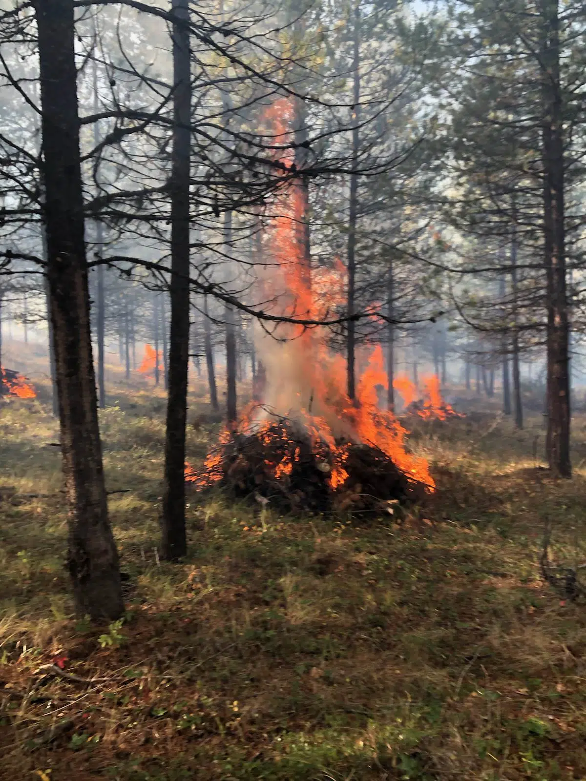
The BC Wildfire Service is supporting the Aq’am Department of Lands and Natural Resources for a large prescribed burn which is set to begin near the community on Friday.
This burn will cover 1,240 hectares north of the St. Mary’s River and east of Canadian Rockies International Airport to help reduce wildfire risk in the area.
You may see smoke from Aq’am, Cranbrook, Kimberley and surrounding areas as well as Highways 3, 93/95 and 95A.
Burning will proceed only if conditions allow, smoke may linger for several days.
Find more information from the BC Wildfire Service below:
The BC Wildfire Service will be supporting the ʔaq̓am Department of Lands and Natural Resources in conducting an ecosystem restoration burn on the Kootenay IR number 1. This burn will cover up to 1,240 hectares and is located immediately north of the St. Mary’s River, east of the Canadian Rockies International Airport.
The exact timing of this burn will depend on weather and site conditions but could begin as early as Friday, April 28, 2023. Burning will proceed if conditions are suitable and allow for smoke dispersal, though smoke may linger in the following days.
Smoke may impact the residents near the burn area and will be visible from ʔaq̓am, Cranbrook, Kimberley and surrounding areas. Smoke will also be visible to motorists travelling along Highway 3, Highway93/95, and Highway 95A.
Key goals of this prescribed burn include:
• help restore forest health and properly functioning open forest conditions,
• address forest health issues associated with overly dense tree stands, and
• reduce the risk of catastrophic wildfires in the area.


Comments